
Parish
main page
|
|
| York All Saints Pavement Parish main page |
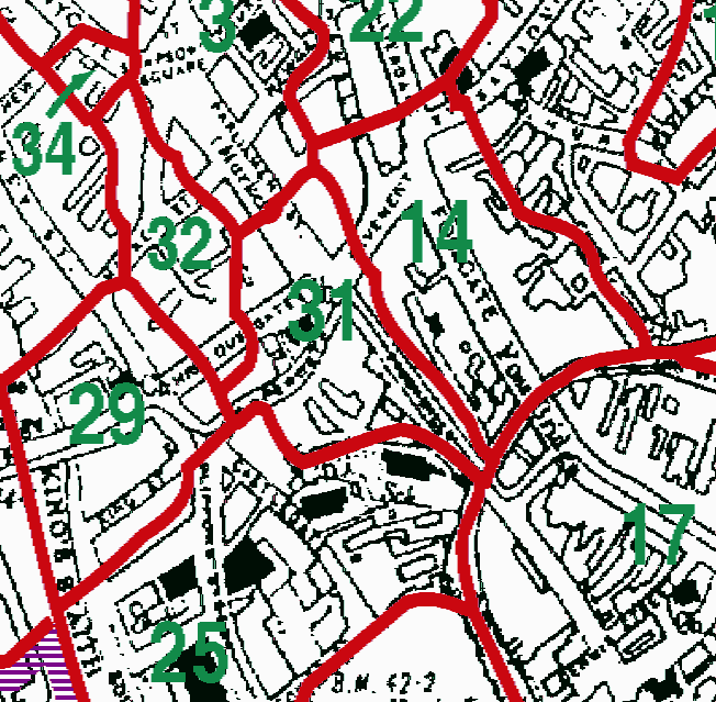
| The Divisions of the parish are as follows: | |
| 31=All Saints (Pavement) | 32=St Peter (The Little) |
This map was extracted by Phil Duke from:
Kain, R.J.P., Oliver, R.R., Historic Parishes of England and Wales: an Electronic Map of Boundaries before 1850 with a Gazetteer and Metadata [computer file]. Colchester, Essex: History Data Service, UK Data Archive [distributor], 17 May 2001. SN: 4348.
Acknowledgement is made to R.J.P. Kain, R.R Oliver, the Economic and Social Research Council, the History Data Service and the UK Data Archive.